Geo Data Flow
Geo-Daten in Ihrem führenden System
Sie haben oft verschiedene Systeme, die verschiedene Daten übertragen und abbilden. Dabei verlieren Sie nicht nur schnell den Überblick, sondern es nimmt auch viel Zeit in Anspruch. RIO bietet Ihnen mit dem Service Geo Data Flow die ideale Lösung.
Sie möchten unsere Geo-Daten erhalten, aber diese lieber in Ihre eigene Benutzeroberfläche integrieren? Mit unserem Service Geo Data Flow können Sie die durch RIO erhobenen Daten wie die Postion oder den Kilometerstand Ihrer Fahrzeuge in ein Dritt-System Ihrer Wahl integrieren. Dadurch werden Ihnen all Ihre notwendigen Daten auf nur einer Plattform angezeigt. Sie zahlen also nur für das, was sie letzlich auch wirklich brauchen und nutzen.
Das API/Schnittstellen Produkt von Geo
Integrieren Sie Geo-Daten in Ihr führendes System
Unsere Services Geo und Geo Data Flow sind sich ähnlich. Geo Data Flow erlaubt es im Rahmen unserer Partneranbindungen lediglich die entsprechenden Daten zu generieren, die über Schnittstellen an Ihr Hauptsystem weitergeleitet und abgebildet werden. Folgende Daten werden in diesem Zusammenhang weitergegeben:
- Positionsdaten
- Kilometerstand
- Geschwindigkeit
- Tankfüllstand
| Geo Data Flow | Geo | Geo L | |
|---|---|---|---|
| Speicherung der Daten | 7 Tage | 25 Monate | 25 Monate |
| API-Zugriff Daten per API an Dritt-System übertragen |  | | |
| Die wichtigsten Fahrzeug- und Fahrerinformationen in Echtzeit Z.B. die Geschwindigkeit oder den Tankfüllstand | | | |
| Nutzung der RIO Benutzeroberfläche |  | | |
| Darstellung der Position des LKWs in Echtzeit auf der Karte oder als Tabellenansichtalle (Sendefrequenz abhängig von Hardware) | | | |
| Karteninformationen Adresssuche, Verkehrsbedingungen und -störungen, eingeschränkt befahrbare Straßen, aktuelle Verkehrslage | | | |
| Historische Ereignisse in der Fahrthistorie Fahrerwechsel, Fahrbeginn und -ende, Grenzübertritte, uvm. | | | |
| Tabellenübersicht aller historischen Positionen und Ereignisse Einschließlich Datenexport (XLS, CSV) | | | |
| LKW-Routenplanung Unterstützung von LKW-Standardgrößen, Unterstützung von Kunden-eigenen Maßen, Berücksichtigung von Verkehrsstörungen, Mautkostenberechnung | | | |
| Nutzer und systembasierte Points of Interest (POI) auf der Karte Einschließlich Import von Nutzer-POI | | | |
| Geofencing Kreis und Polygon | | | |
| Daten aus Dritt-Systemen Fleetboard, fleet.tech, idem, Kögel, MAN, Renault, Schwarzmüller, TIMOCOM, TX-TRAILERPULSE, Volvo, Webfleet | | | |
| Daten aus Dritt-Systemen CO3, Krone, Scania, Schmitz Cargobull oder Webfleet (LINK RIO Edition) | | | |
Wie funktioniert es?
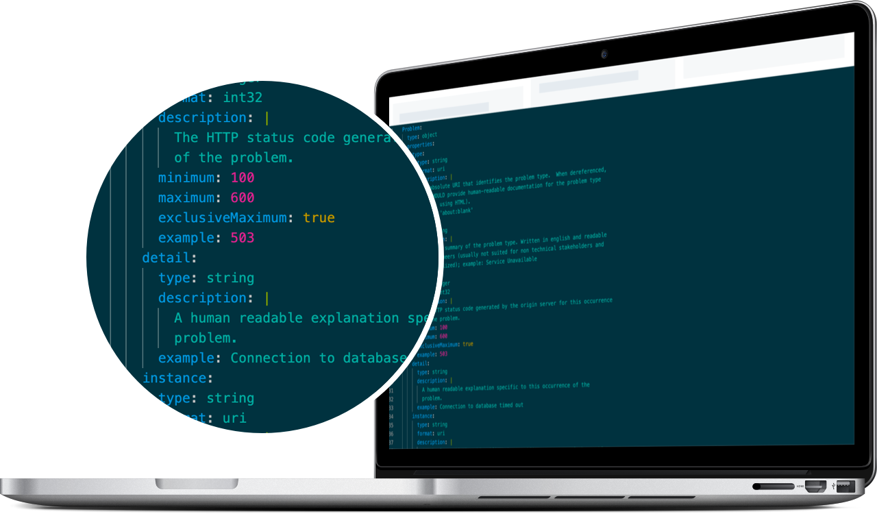
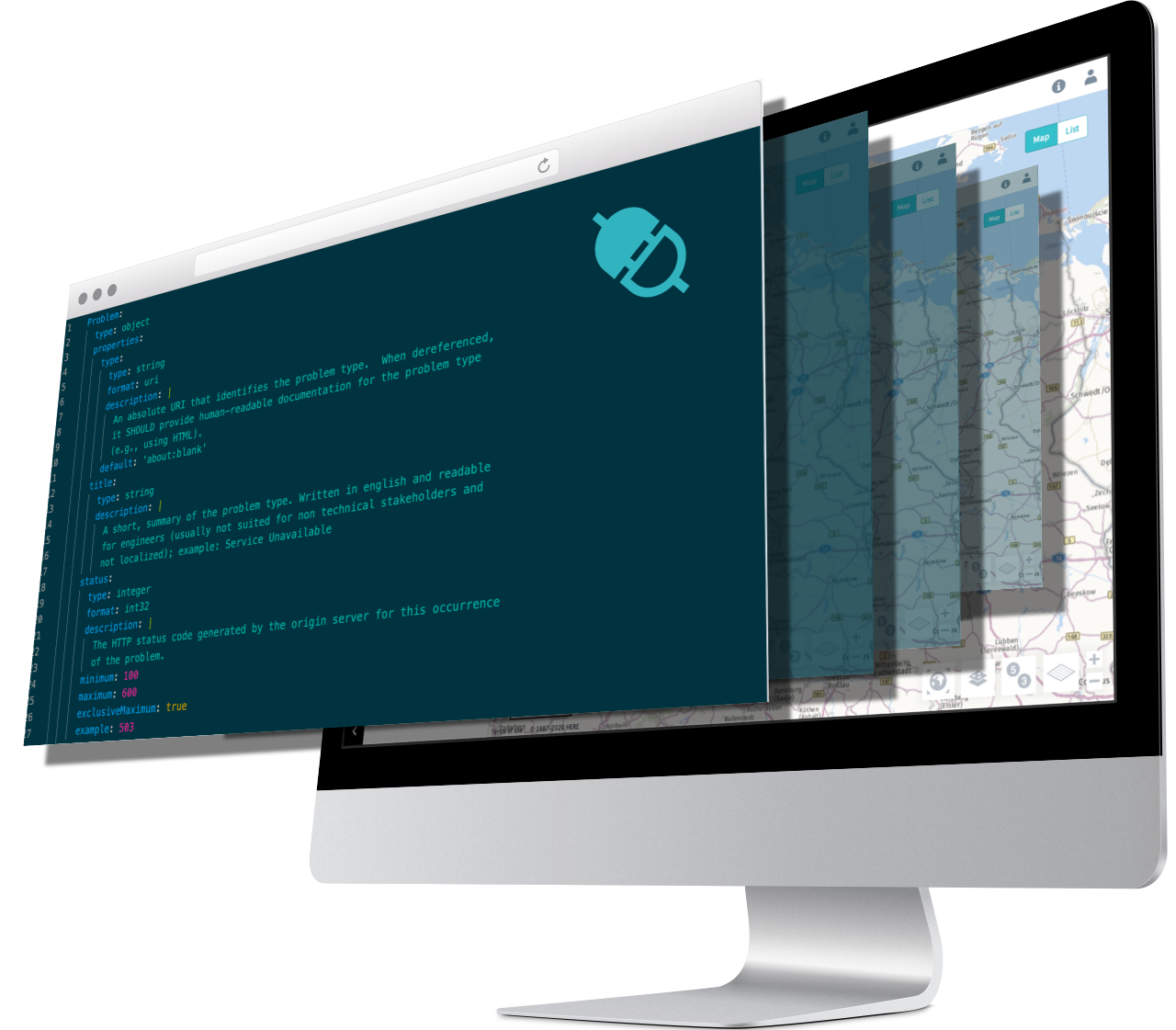
Die Anbindung der RIO-Daten an Ihr Wunschsystem funktioniert über eine standardisierte Schnittstelle, eine so genannte API. Hierfür gibt es drei verschiedene Möglichkeiten, wie Sie diese Schnittstelle integrieren können:
- Sie können die Schnittstelle selbst integrieren. Mehr Informationen
- Sie können die Anbindungen an bereits angeschlossene Partnersysteme im Marketplace anfordern.
- Sollte Ihnen noch eine Partneranbindung fehlen, kontaktieren Sie bitte unser Partnermanagement.